What You'll Find on the Komodo Island Map
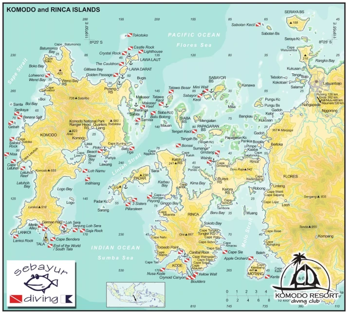
This is a working reference chart rather than a tourist illustration. It covers Komodo and Rinca islands with the water between and around them, and it is marked with the things you actually need when planning: dive sites, named bays and capes, anchorages, depth soundings, the straits, and the ranger posts.
What is plotted on it:
- Dive and snorkel sites, each shown with a dive flag, from Castle Rock in the far north to Cannibal Rock and Yellow Wall in the deep south
- Islands, including the ones people never hear about, such as Lankoi, Gili Motang, Nusa Kode, Sabolan and Papagaran
- Towns and villages, principally Labuan Bajo on Flores, plus Komodo village and the settlements along the Flores coast
- Landmarks and ranger stations, including Loh Liang on Komodo and Loh Buaya on Rinca, where dragon treks start
- Anchor points, which is where liveaboards actually spend the night
- Straits and seas, the Sape, Lintah and Molo straits, with the Flores Sea to the north and the Sumba Sea to the south
One honest caveat: this is a static chart, not a live interactive map. It is designed to be read, printed or screenshotted before you sail, which is the more useful format anyway once you are somewhere without signal.
How the Park Is Laid Out
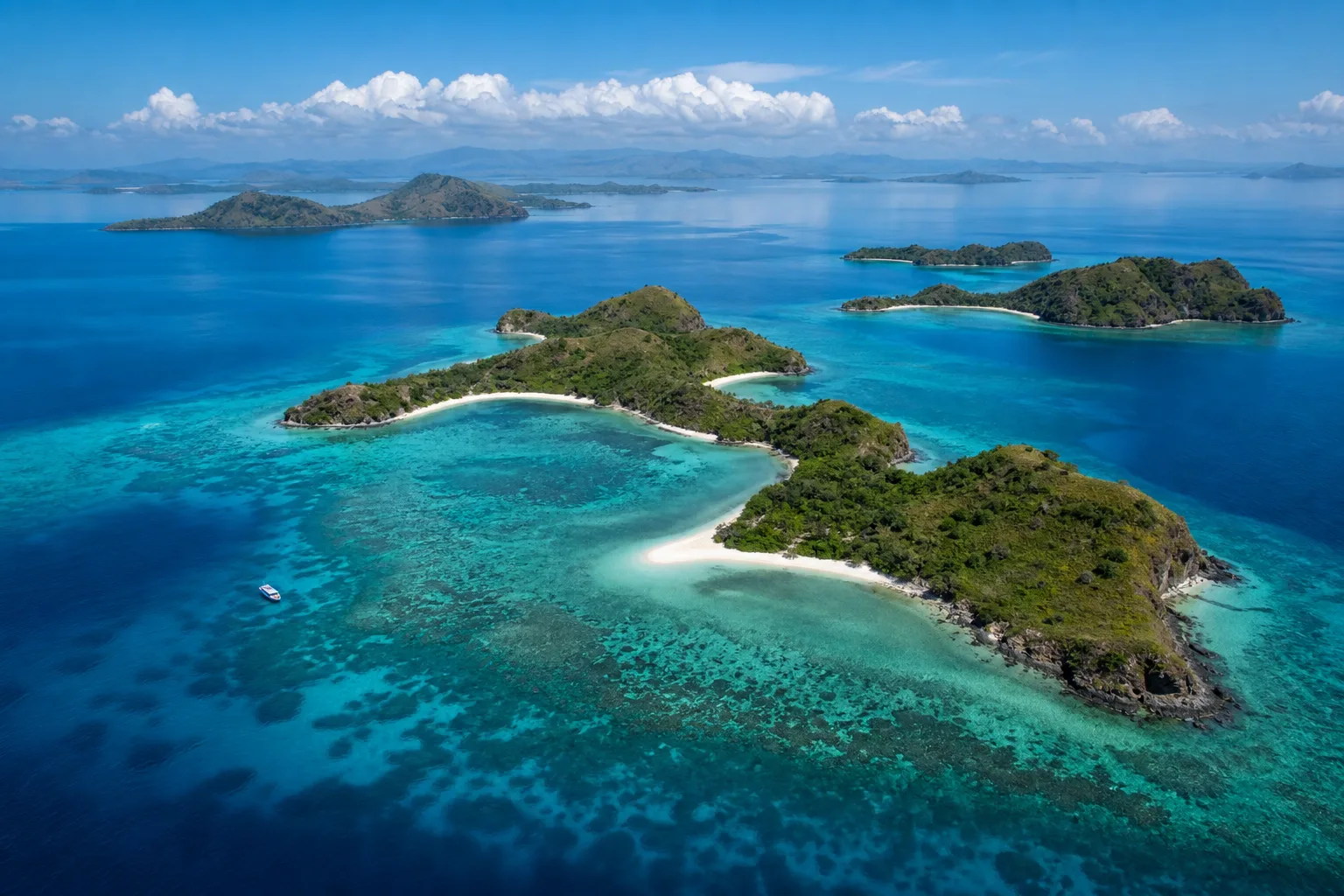
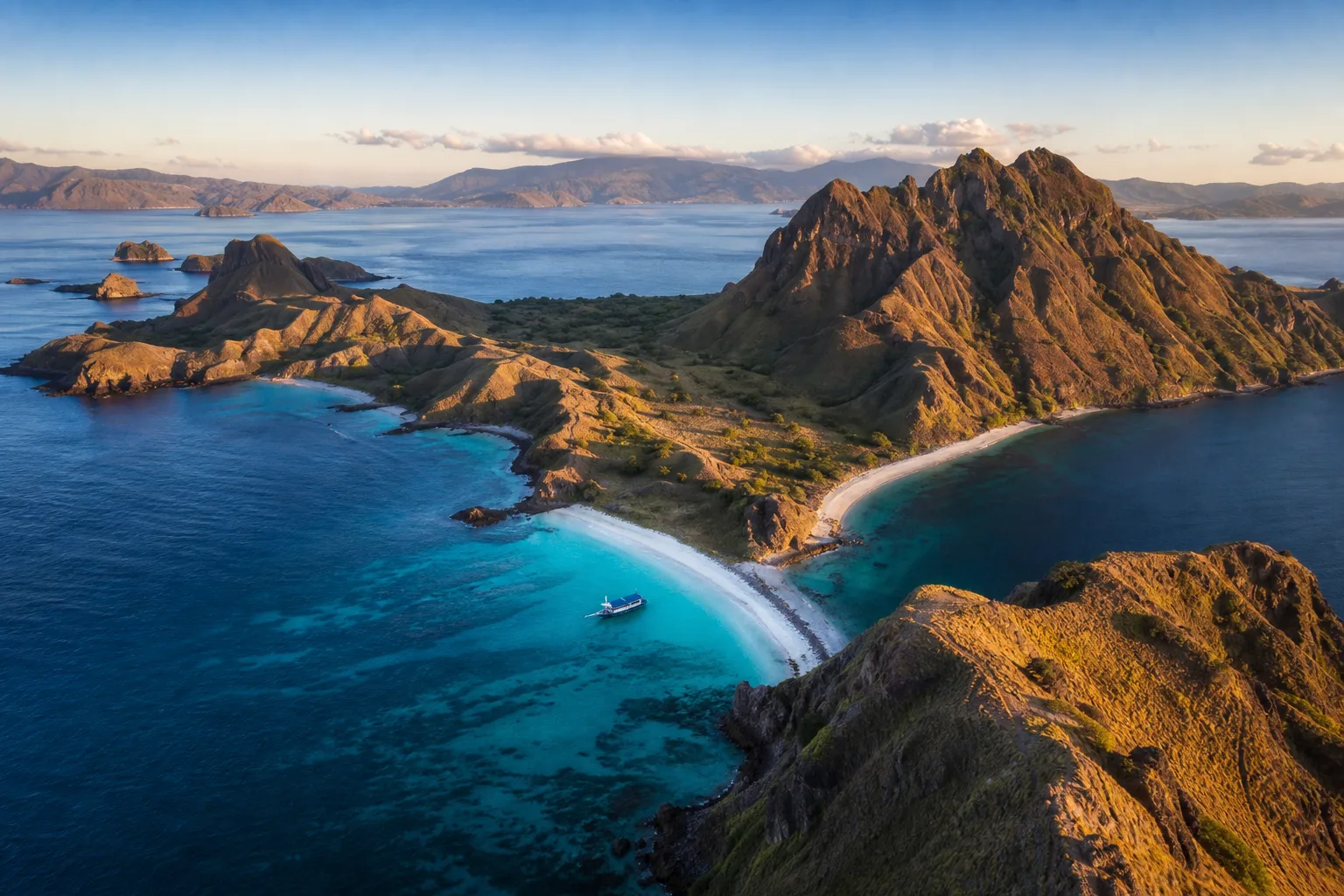
Four landmasses define the map. Komodo Island occupies the west, and it is big, roughly 30 kilometres from its northern tip to its southern capes. Rinca sits to the southeast, almost as large. Padar is the small hourglass-shaped island between them. And Flores fills the eastern edge, with Labuan Bajo, the gateway town, on its western tip.
The critical thing the map makes obvious is that the park is not a tight cluster. Komodo National Park covers about 1,733 square kilometres, and the distance from the northern sites down to the southern ones is a serious passage rather than a hop. Almost every trip that disappoints does so because someone assumed otherwise.
The water is organised by three straits, and knowing which one you are in explains most of what the conditions are doing.
Lintah Strait and the Central Corridor
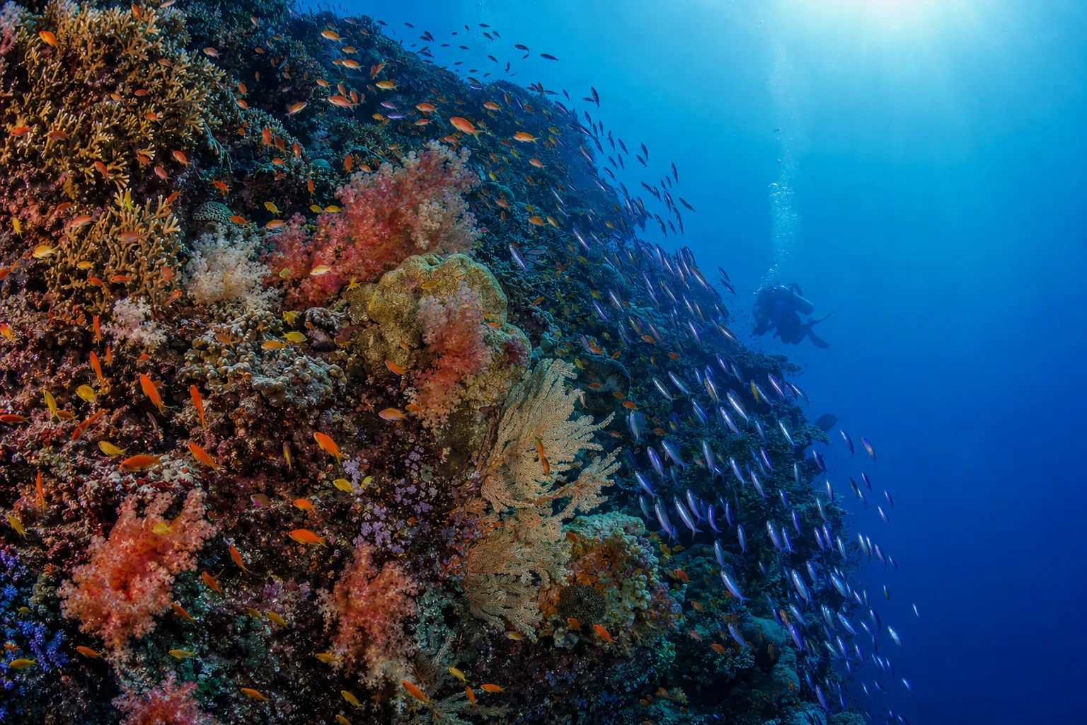
The Lintah Strait runs between Komodo Island and Padar, and it is the engine room of Komodo diving. Water moving between the Flores Sea in the north and the Sumba Sea in the south is squeezed through this gap, which is what produces the currents and the extraordinary reef density that follows them.
Batu Bolong sits in this corridor, as do Tatawa Besar and Tatawa Kecil, Makassar Reef where the mantas gather, and Siaba. If someone describes a Komodo dive trip without naming any of these, they are probably not going into the strait at all.
Molo Strait and the Labuan Bajo Approach
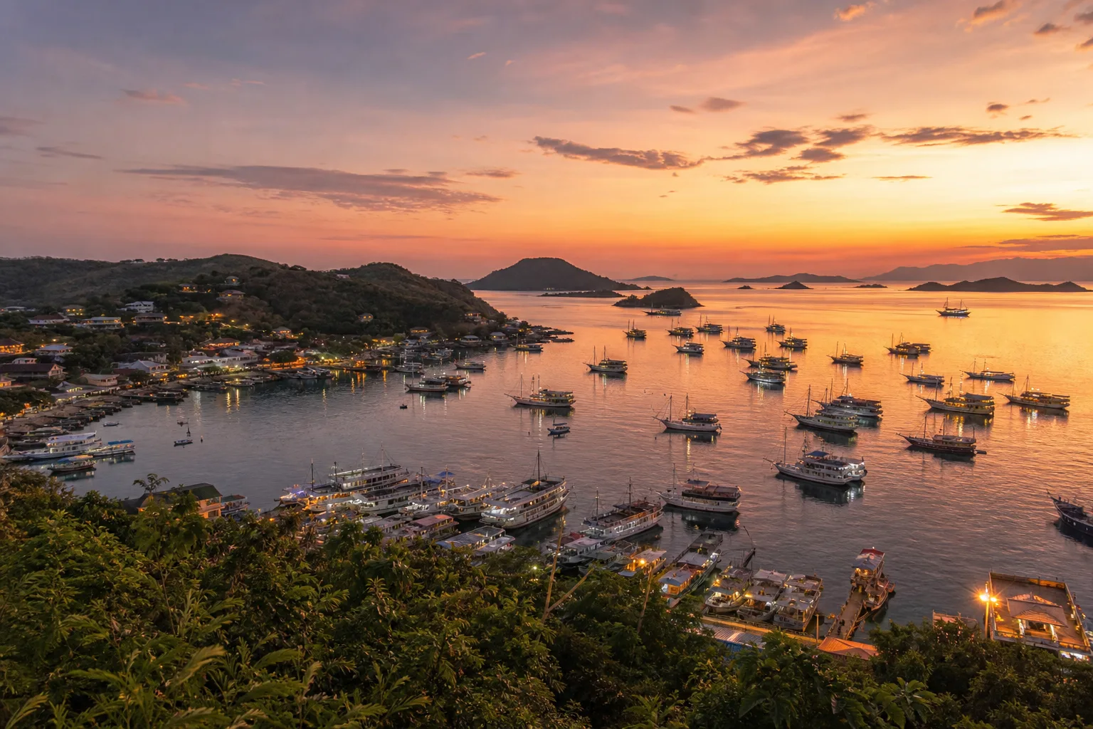
The Molo Strait separates Rinca from Flores, and it is the water every boat out of Labuan Bajo crosses first. On the eastern side of the map you will find the cluster of small islands closest to town: Sebayur, Sabolan, Kanawa, Seraya and Papagaran. These are the sheltered, easy-access sites, and they are where our resort and dive centre are based.
That position matters more than it looks on paper. From Sebayur, the central sites are roughly twenty minutes away by boat. From a hotel in Labuan Bajo, the same sites are typically ninety minutes or more each way, which is three hours of your diving day spent in transit.
Sape Strait and the Western Edge
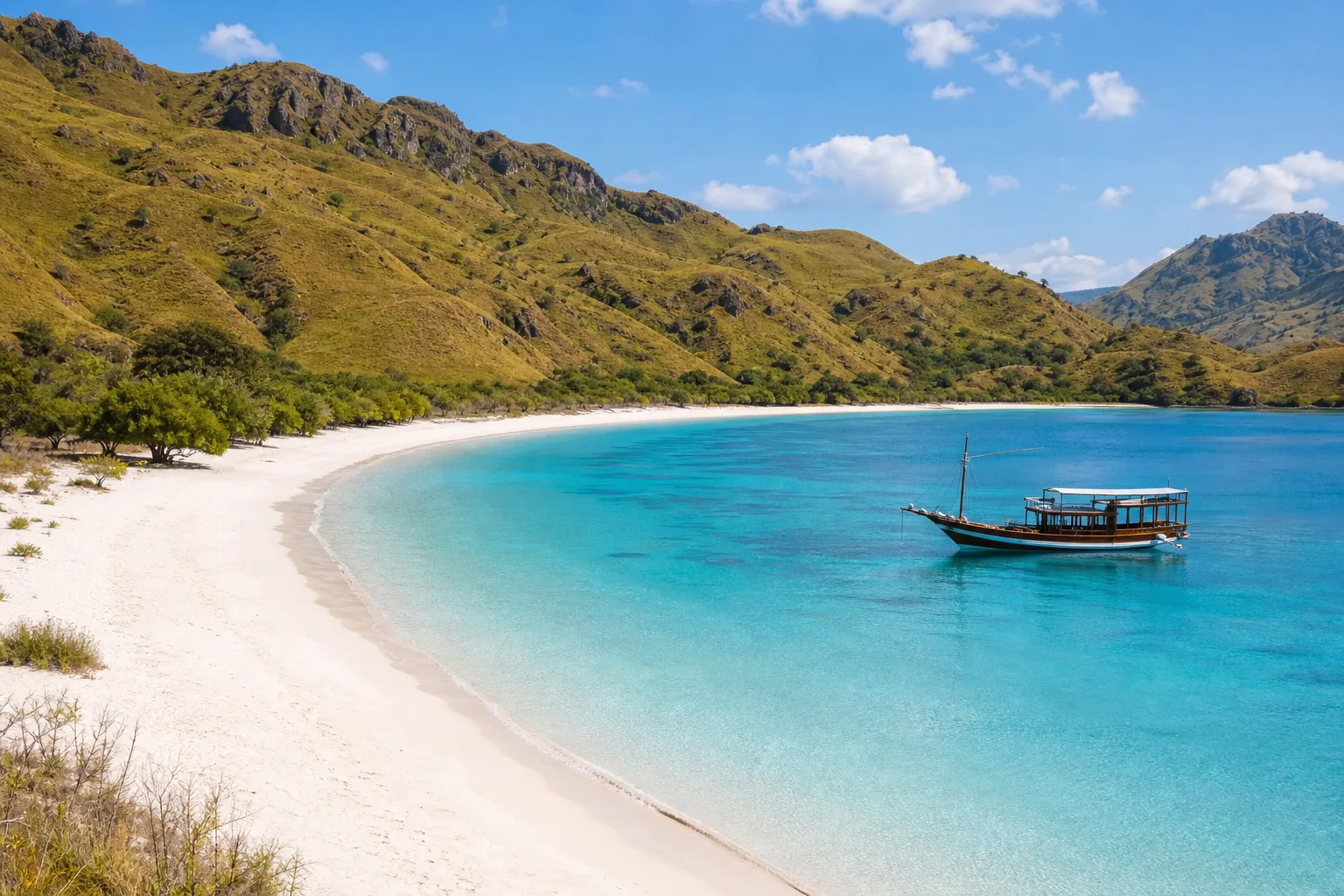
The Sape Strait runs along the western side of Komodo Island, separating it from Sumbawa. It is the most exposed water on the chart and the least visited, and boats generally only work this side when conditions are settled.
You will see sites such as Gebah, Sabolon Rock and Lehokruko marked along this coast. They are legitimate dives, but they are weather-dependent and a long way from anywhere, which is why they appear on liveaboard itineraries and almost never on day trips.
The Northern Dive Sites
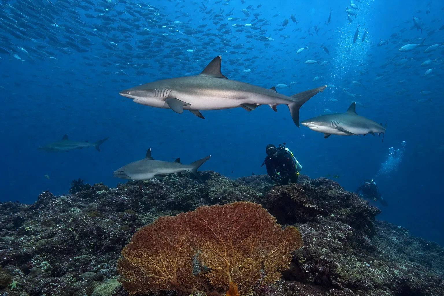
The north of the map, around the top of Komodo Island and the Lawa islands, holds the sites that made Komodo's reputation with experienced divers. Castle Rock and Crystal Rock are submerged seamounts where you hook into the current and watch grey reef sharks, trevally and fusiliers stack up in front of you. The Cauldron, widely known as Shotgun, is a channel dive where the flow funnels through a narrow gap and fires you out over a sandy plateau.
Golden Passage, between Komodo and Gili Lawa Darat, is the other classic here, and Tokotoko sits further north still. These are advanced dives. They need good buoyancy, comfort with negative entries and a crew that reads the tide rather than the clock. Our guide to diving Komodo's currents covers the skills involved, and the Komodo dive sites page compares them site by site.
Gili Lawa Darat is also the panoramic hike people mistake for Padar in photographs, and the anchorages here are among the most popular overnight stops for liveaboards.
The Central Dive Sites
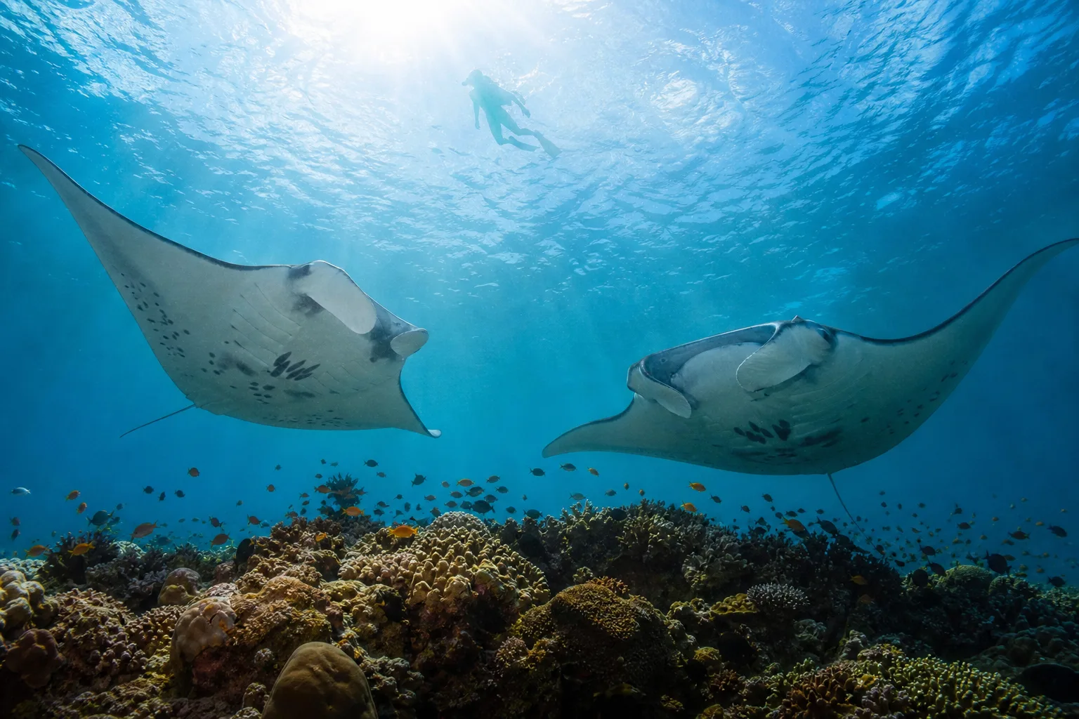
The middle of the map is where most diving in Komodo actually happens, and it is the most accessible part of the park from the eastern side. Batu Bolong is the standout: a pinnacle rising out of deep water with reef so densely packed it looks artificial, always dived on the sheltered face because the exposed side in full flow is not survivable.
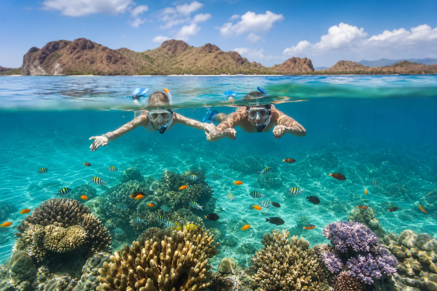
Makassar Reef, marked on the chart between Komodo and Tatawa, is the long shallow rubble plateau better known as Manta Point, where reef mantas come to feed and be cleaned. Tatawa Besar is a gentle coral slope, Tatawa Kecil is considerably more demanding, and Mawan and Siaba Besar are the calm, sloping reefs where new divers build up and where snorkellers get the best of it.
Around the eastern islands, Sebayur, Sabayur Kecil, Mini Wall, Kanawa and Sabolan give you sheltered reef in easy reach, which is what makes a resort base workable for mixed-ability groups. Our Komodo snorkelling trips work this zone.
The Southern Dive Sites, and Why They Are Different
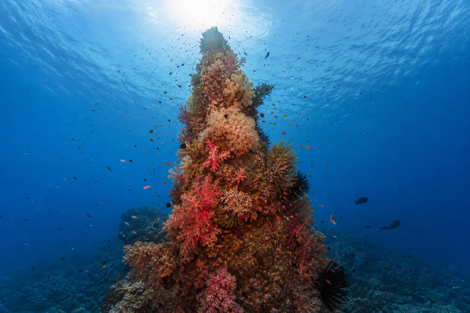
Everything below Padar on the chart is a different kind of diving. Manta Alley off the southern capes of Komodo, and the sites around Nusa Kode and Horseshoe Bay on Rinca's south coast, are fed by cold upwelling from the Sumba Sea. The water can be ten degrees cooler than the north, visibility is often lower, and the marine life changes completely.
This is where the critter diving is: Cannibal Rock, Yellow Wall, Torpedo Point, Crinoid Canyon and Boulders are famous for pygmy seahorses, frogfish, nudibranchs and dense invertebrate growth rather than big schooling fish. Pillarsteen and Three Sisters sit around Padar itself.
Two practical consequences. First, bring more exposure protection than the tropics suggest, because a 3mm suit that is fine in the north is not fine here. Second, these sites are effectively liveaboard-only. No day boat from Labuan Bajo reaches them and returns, and they are the clearest argument for a longer trip on our Komodo liveaboard. The south is also the most weather-dependent part of the park, so any itinerary promising it should come with the caveat that conditions decide.
The Smaller Islands Worth Knowing
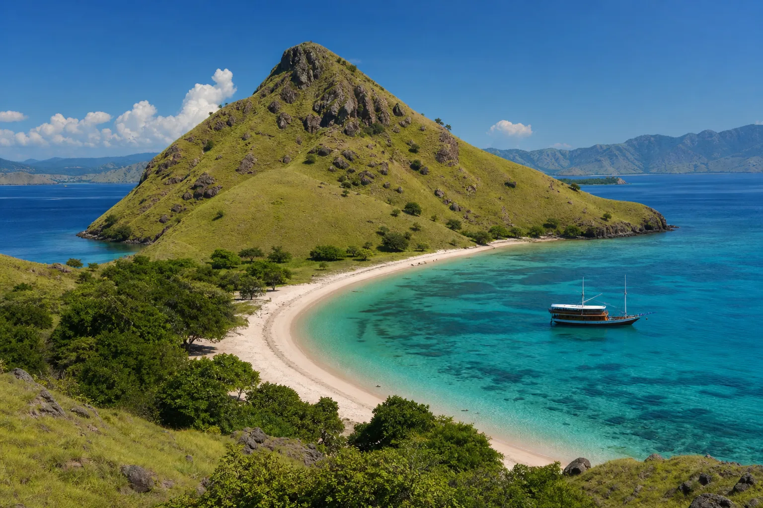
Komodo, Rinca and Padar take the attention, but a good part of a well-planned trip happens on islands most visitors never hear about, and they are all on the chart.
Kelor and Bidadari sit closest to Labuan Bajo and are the standard first or last stop on a day trip, with a short steep climb on Kelor for a view over the strait. Kanawa, Sabolan and Seraya are the sheltered snorkelling islands on the eastern side, easy water and good coral in the shallows. Sebayur is where our resort and dive centre sit, which puts the central sites within a twenty minute run.
Further out, Gili Lawa Darat in the north offers the ridge hike that is frequently mistaken for Padar in photographs, and its bays are the busiest liveaboard anchorages in the park. Papagaran is an inhabited fishing island that gives a genuine sense of how people live out here. Kalong is the mangrove island where the flying foxes lift off at dusk. And in the far south, Gili Motang and Nusa Kode are remote, lightly visited, and hold both a small dragon population and some of the best critter diving in Indonesia.
How the Seasons Redraw the Map
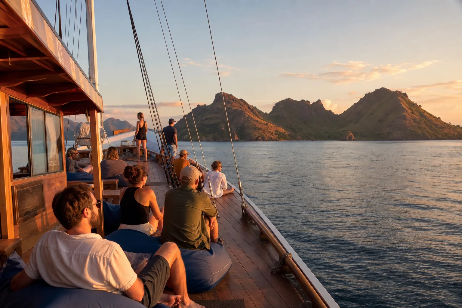
The chart stays the same all year but the usable parts of it do not, which is worth understanding before you commit to dates.
From roughly April to November, the dry season, most of the map is in play. Seas are settled enough for the northern seamounts and the western Sape Strait coast, visibility is at its best, and crossings are comfortable. July and August are the flattest and clearest weeks of the year, and also the most crowded and expensive, with the central sites and the Padar ridge carrying a genuine queue.
From December to February, the wet season, the exposed edges of the map effectively close. Wind and swell make the north and the west unreliable, and days get lost. What you gain is the largest manta aggregations of the year at Makassar Reef, because the plankton the mantas follow arrives with the rain. The sheltered eastern islands stay workable throughout, which is another argument for basing there rather than trying to reach the extremes.
The southern sites are a special case: cooler and richer year-round, but the most weather-dependent water on the chart in any season. Our guides to the best time to visit Komodo Island and Komodo in November go through it month by month.
Reading Distances and Travel Times
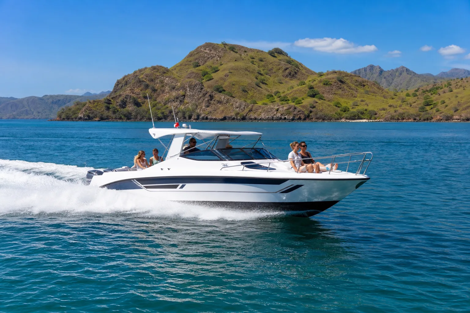
The scale bar at the bottom of the chart is the most useful thing on it, and the most ignored. A few reference points worth holding in your head before you book anything.
From Labuan Bajo, the nearby islands such as Sebayur, Kanawa and Sabolan are a short run of well under an hour. The central sites around Batu Bolong and Makassar Reef are typically ninety minutes or more by speedboat, and longer on a wooden boat. Padar and Pink Beach are a further stretch again, which is why single-day Padar trips out of town involve a great deal of sitting on a boat. The northern sites around Castle Rock are a long day at best and are normally reached by liveaboard. The southern sites are an overnight passage.
Boat type changes these numbers substantially. A fast speedboat may do in one hour what a traditional wooden boat does in two and a half, and that difference is usually the real reason two similar-looking itineraries are priced so differently. Our Komodo day trip guide sets out what genuinely fits into a single day from town, and our Komodo island itinerary guide maps three, five and seven day plans against these distances.
Where the Ranger Stations Are
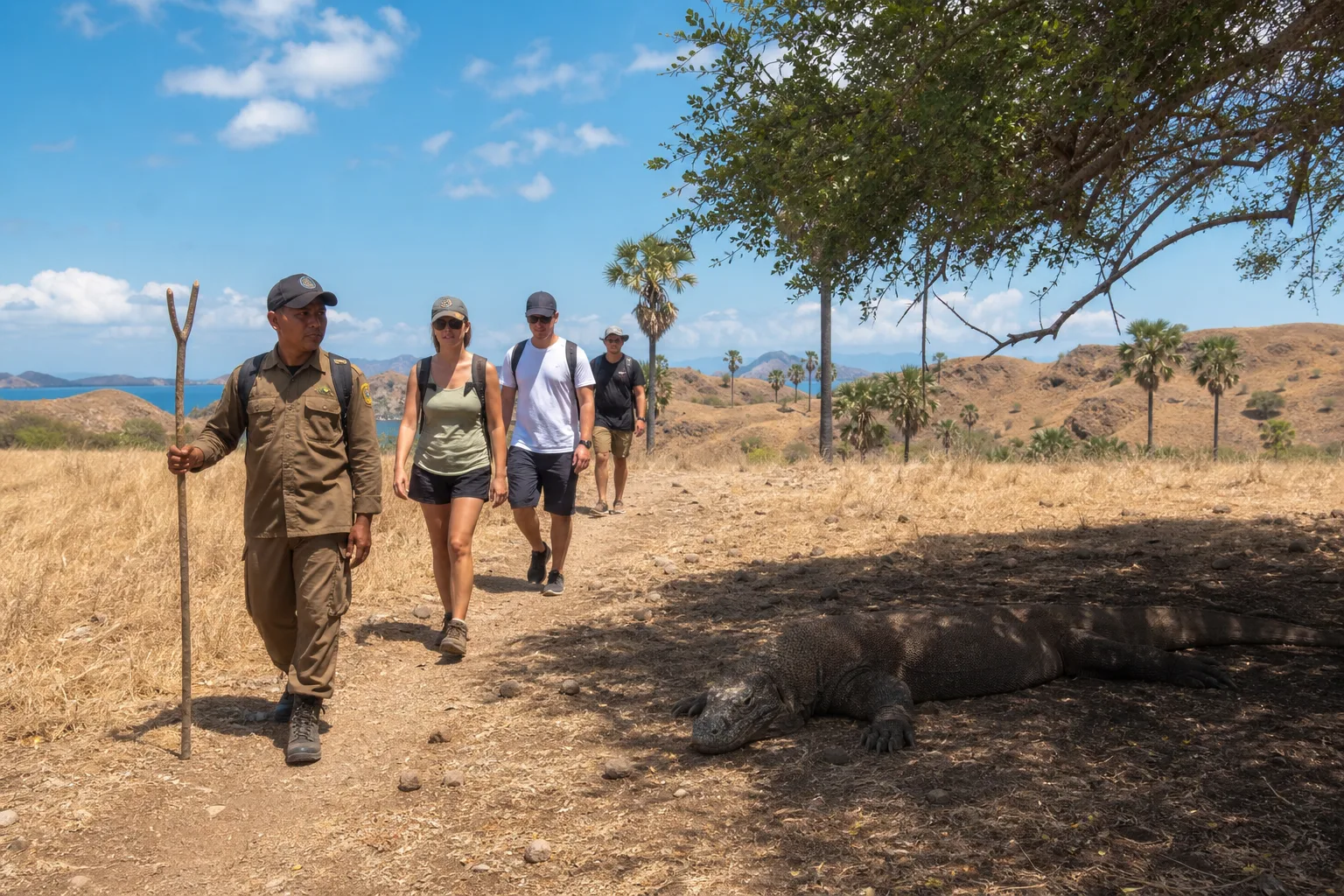
Dragon treks do not start wherever you like. They start at the two ranger posts marked on the chart: Loh Liang on the eastern side of Komodo Island, and Loh Buaya on the north coast of Rinca. Every walk is escorted by a park ranger, which is mandatory rather than optional.
Rinca's Loh Buaya is closer to Labuan Bajo and the walk from the jetty is shorter, which is why day boats favour it. Komodo's Loh Liang is further but feels less managed. Neither is a zoo, and both are genuinely wild areas where the safety briefing matters, as our guide to how dangerous Komodo dragons really are explains. Options for both are on our Komodo dragon tours page.
Ranger fees are charged per group rather than per person, at IDR 200,000 for up to five people on Komodo or Rinca and IDR 150,000 on Padar, on top of the park entry fees. Our guide to Komodo National Park entrance fees has the full schedule.
Where to Base Yourself on the Map
There are three viable positions on this chart, and the map explains the trade-off between them better than any brochure.
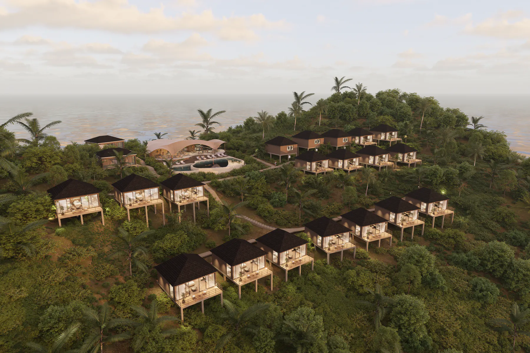
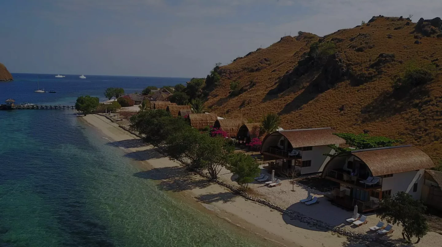
Labuan Bajo, on the Flores coast, gives you restaurants, ATMs, the airport and the widest choice of boats, at the cost of a long transit to almost everything. An island resort inside the archipelago puts you past that transit before the day starts: our Komodo Resort bungalows on Sebayur are roughly twenty minutes from the central sites, with a house reef you can dive without a boat at all. A liveaboard has no fixed position, which is the entire point, and is the only way to reach the north and south in one trip.
For most visitors the honest answer is a combination. Base on an island for the central sites and the relaxed pace, then take a liveaboard leg if the southern critter sites or the northern seamounts are what you came for. Our guide to staying on Komodo Island compares the options in detail.
Using the Map on the Water
Mobile coverage inside the park is patchy and disappears entirely in the south, so treat the chart as something to capture before you leave. Screenshot it, or save the image to your phone, and it will be there when you want to work out which island you are looking at from the sun deck.
It is worth a look the evening before a trip for one specific reason: it lets you sanity-check the itinerary you have been sold. If a one-day trip claims Castle Rock in the north and Manta Alley in the south, the map tells you immediately that it cannot be true. That is the most valuable thing a chart of Komodo can do for you.
Frequently Asked Questions
Explore More About Komodo
Ready to Explore Komodo?
Stay inside the archipelago and start your diving day twenty minutes from the central sites instead of ninety.
View Our Rooms