Mount Lewotobi is a pair of volcanoes in East Flores, Indonesia, and the active one, Lewotobi Laki-laki, has erupted repeatedly since late 2023. As of late September 2026 it is at Alert Level II (Waspada) after eruptions stopped at the end of August, with a 4 km exclusion zone around the crater. It sits about 300 km east of Labuan Bajo and Komodo National Park, so for most travellers the real risk is not the volcano itself but ash in the air, which can close the airport at Maumere and, after large eruptions, cancel flights to Labuan Bajo and Bali.
Mount Lewotobi has become the most searched volcano in eastern Indonesia, and for anyone planning a Komodo island vacation the headlines can be alarming. Pictures of an 18 kilometre ash column over Flores tend to arrive without the context that matters to a traveller: where the volcano is, how far it is from the places tourists actually go, and which eruptions affected travel and which did not.
This guide covers all of that. It explains what Lewotobi is, what happened in the eruptions of 2024, 2025 and 2026, what the Indonesian alert levels mean, and how ash affects flights into Labuan Bajo, Maumere and Bali. It also sets out what to do before booking and if an eruption happens during a trip, whether the plan is a Komodo liveaboard, a few days on the islands or an overland journey across Flores. Volcanic activity changes quickly, so the final sections show how to check the current status for yourself rather than relying on any article, this one included.
Where Is Mount Lewotobi?
Mount Lewotobi is in the East Flores regency (Flores Timur) of East Nusa Tenggara province, near the eastern end of Flores. The nearest town of any size is Larantuka, about 35 km to the northeast. Frans Seda Airport in Maumere is roughly 60 km to the west.
For context, here is how far the volcano is from the places most visitors to the region are heading:
| Place | Approximate distance from Lewotobi |
|---|---|
| Larantuka | 35 km northeast |
| Maumere and Frans Seda Airport | 60 km west |
| Kelimutu crater lakes | about 105 km west |
| Labuan Bajo and Komodo Airport | about 300 km west |
| Komodo National Park | about 300 to 350 km west |
| Bali (Ngurah Rai Airport) | about 830 km west |
Flores is long and thin, around 350 km from end to end, so "a volcano erupting on Flores" can mean a place a short drive away or one on the opposite side of the island. Labuan Bajo, the gateway to Komodo, is at the western tip. Lewotobi is in the east. The map in the guide to where Flores Island is shows how the island is laid out.
Why Are There Two Lewotobi Volcanoes?
Lewotobi is a twin volcano: two cones whose summits stand less than 2 km apart on a line running northwest to southeast. Their names come from local tradition, which treats the pair as a couple.
- Lewotobi Laki-laki ("man" or "husband"), 1,584 metres, is the northwestern cone. It is the more conical of the two and the one that has been erupting. When the news says "Lewotobi erupts", it almost always means Laki-laki.
- Lewotobi Perempuan ("woman" or "wife"), 1,703 metres, is taller and broader. It is far less active, with recorded eruptions only in 1921 and 1935.
Laki-laki erupted frequently through the nineteenth and twentieth centuries, usually in small events that barely registered outside Flores. The current phase is different in scale, and that is why the name is now known far beyond Indonesia.
What Happened in the 2024 Eruption?
The current eruptive phase began in late December 2023. On 1 January 2024 the alert was raised to the highest level, around 6,500 people were evacuated, and Maumere's airport closed for a period. That episode was disruptive but caused no deaths.
The eruption of 3 to 4 November 2024 was the deadliest in the volcano's recorded history. Just before midnight on 3 November, a large explosion lasting around 24 minutes sent pyroclastic flows down the flanks in every direction and threw incandescent rock onto villages on the lower slopes. Nine people were killed and dozens injured. Schools, houses and a convent were destroyed, and thousands of residents moved into emergency shelters. In the days that followed, ash forced airlines to cancel flights between Australia and Bali, even though Bali is more than 800 km away.
The Indonesian government later decided that six villages within about 4 to 5 km of the crater, including Klatanlo, Hokeng Jaya, Nawakote, Nobo, Dulipali and part of Boru, should be permanently relocated. Permanent housing for survivors is being built at new sites further from the mountain. For visitors, this history is worth remembering: the communities around Lewotobi are still recovering, and the volcano is not a sightseeing attraction.
How Did the 2025 Eruptions Affect Travel?
2025 brought several of the largest eruptions of the phase, and they are the ones that disrupted tourism across the region. The pattern was the same each time: a tall ash column, an ash advisory for aircraft, and cancellations at airports hundreds of kilometres away.
- 20 March 2025: an explosion sent ash about 8 km above the summit. The alert went back to Level IV and Jetstar cancelled flights between Australia and Bali.
- 17 June 2025: an ash column of around 11 km. Dozens of flights to and from Bali were cancelled, including routes to Australia, Singapore, New Zealand and domestic destinations.
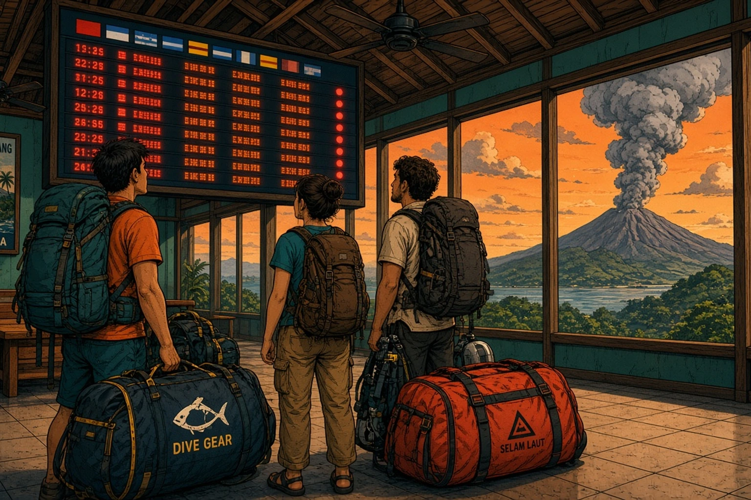
- 7 July 2025: an eruption with an ash column estimated at 18 km. Komodo Airport in Labuan Bajo closed from 7 to 8 July, and 24 flights were cancelled at Bali. With no flights out, the harbourmaster in Labuan Bajo arranged boats to take 88 stranded tourists to Sape on Sumbawa and to Bali.
- 1 to 2 August 2025: two explosions of around 10 and 18 km. Maumere's airport closed until the morning of 3 August and flights across East Nusa Tenggara and to Bali were disrupted.
Activity continued in smaller bursts through September. The last eruption of 2025 was on 18 October. The alert was raised to the highest level once more in late November because of rising magma, then lowered in early December without a further eruption.
The July 2025 event is the one to understand if you are going to Komodo. Nothing happened on the ground in Labuan Bajo: the town, the harbour and Komodo National Park kept working. The problem was ash at flight altitude over western Flores, which closed the airport for a day and left visitors who needed to leave with no way out except by sea.
What Has Lewotobi Done in 2026?
2026 has been a year of frequent but much smaller eruptions. Laki-laki erupted on most days between June and August, but ash columns generally rose between a few hundred metres and 2.5 km above the summit, not the 10 to 18 km columns of 2025.
The year so far, in order:
- January: seismic activity and swelling of the mountain triggered Level IV on 1 January. It was lowered to Level III on 9 January without a major eruption.
- February to April: the alert dropped to Level II on 20 February. Small ash plumes followed in March and April, and Maumere's airport closed on 23 April after a series of eruptions.
- 12 May: the alert was raised to Level III after an increase in deep volcanic earthquakes and inflation. Monitoring noted that the pattern resembled the build-up before the 2024 eruptions, and the exclusion zone was extended to 5 km.
- June to August: near-daily ash eruptions. Maumere's airport closed several times in June, including on 20 to 21, 22 to 23 and 26 June, cancelling flights to Kupang, Makassar and Labuan Bajo. The largest late eruption, on 27 August, reached 2.5 km.
- September: no eruption earthquakes have been recorded since 1 September. On 16 September the alert was lowered to Level II (Waspada) and the exclusion zone reduced to 4 km.
In practice, disruption in 2026 has been concentrated at Maumere, the airport closest to the volcano. No 2026 eruption was large enough to produce the kind of Bali and Labuan Bajo cancellations seen in 2025. The geological agency has been clear, though, that activity continues inside the volcano and that smaller eruptions remain possible, so Level II means quieter, not finished.
What Do the Indonesian Volcano Alert Levels Mean?
Indonesia uses a four-level alert system, set by the Center for Volcanology and Geological Hazard Mitigation (PVMBG) under the Geological Agency. Each level comes with a recommended exclusion zone around the crater, which is adjusted to the volcano and the situation.
| Level | Indonesian name | What it means | Recent Lewotobi exclusion zone |
|---|---|---|---|
| I | Normal | Background activity, no sign of an eruption | None beyond the crater |
| II | Waspada | Activity above normal, small eruptions possible | 4 km |
| III | Siaga | Clear increase in activity, eruption likely or under way | 5 to 6 km |
| IV | Awas | Major eruption imminent or occurring | 6 km, extended to 7 km or more on the most exposed side |
Two points often get lost. First, the alert level describes the danger near the volcano, not the risk to flights. A Level II volcano can still produce an ash plume that closes a nearby airport, and a Level IV volcano can sit quietly for weeks. Second, the level is about the specific mountain. A Level IV alert at Lewotobi says nothing about conditions in Labuan Bajo, 300 km away.
Why Does Ash From Lewotobi Cancel Flights to Bali and Labuan Bajo?
Volcanic ash is made of tiny fragments of rock and glass. At the temperatures inside a jet engine it can melt and coat engine parts, which is why airlines avoid it completely rather than flying through it. When a volcano erupts, the Volcanic Ash Advisory Centre in Darwin tracks the cloud by satellite and issues advisories showing where the ash is and at what altitude. Airlines and airport operators decide what to do from there.
That explains the pattern of disruption from Lewotobi:
- Maumere closes most often. At about 60 km downwind in the prevailing direction, even a modest plume of one or two kilometres can put ash over the runway.
- Labuan Bajo closes only after large eruptions. At about 300 km, only a tall column carried west by the wind reaches the airspace over western Flores. That happened in July 2025.
- Bali cancellations are mostly airline decisions. Bali's airport usually stays open. What changes is that some airlines, particularly on routes to Australia, cancel flights when ash lies across their flight paths or when they could not safely divert.
The wind direction matters as much as the size of the eruption. During the dry season, roughly May to October, the prevailing winds over Flores blow from the east and southeast, and Lewotobi's ash has mostly drifted west, towards Maumere and the flight corridors to Labuan Bajo and Bali. Several of the biggest disruptions happened in those months. In the wet season the pattern is more variable. In March 2026, for example, the small plumes mostly drifted north and east, away from the tourist airports. This is a tendency, not a rule, and any single eruption can go in any direction.
Is It Safe to Visit Komodo and Labuan Bajo When Lewotobi Erupts?
Yes, for the physical safety of visitors. Labuan Bajo and Komodo National Park are around 300 km from the volcano, far beyond any exclusion zone. None of the eruptions so far has closed the national park, stopped boats from sailing or caused damage in Labuan Bajo. Boat trips, dive trips and hotels have carried on as normal during every eruption so far.
The risk is to itineraries rather than to people. A large eruption can close airspace over western Flores for a day or so, which means a missed connection, an extra night somewhere or a change of plans. For a traveller with a flexible schedule, that is an inconvenience. For one with a tight international connection in Bali, it can be expensive. The rest of this guide is about managing that risk.
For the other questions travellers ask about the region, from currents to dragons, the guide on whether Komodo Island is safe covers the practical risks, and the guide to whether Komodo Island is closed explains what actually shuts the park and when, including the August 2026 earthquake.
What About Maumere, Larantuka and the Rest of Flores?
East Flores is where the volcano has a real effect on travel plans, and it depends on where you are going.
Maumere. The town itself is outside every exclusion zone set so far, but its airport is the one most often closed by Lewotobi ash, sometimes several times in a month during an active phase. Divers heading for the muck sites in the bay, covered in the guide to Maumere diving, should plan for the possibility of a cancelled flight and consider flying into Ende or driving from Kelimutu instead of relying on a single flight.
Larantuka. The town is known for its Holy Week processions and as the port for Adonara, Solor and Lembata. It is outside the exclusion zone, but it is the nearest town to the volcano, can receive ashfall when the wind blows northeast, and is reached by road from Maumere through Wulanggitang district, at the western foot of the volcano. During heavy rain, the geological agency also warns of lahars, fast-moving flows of mud and volcanic debris, in the rivers that run off the summit through villages in this area. Check the current alert and road conditions locally before driving this stretch.
Kelimutu and central Flores. Moni, Kelimutu, Ende and Bajawa are 100 km or more west of Lewotobi. They are not affected by the exclusion zones, although a large eruption in the dry season can bring light ash haze. Anyone planning the full Flores road trip from Labuan Bajo to Maumere should check the Lewotobi alert along with road conditions before the last leg. The Kelimutu crater lakes have their own access rules after the August 2026 earthquake, which the Kelimutu guide explains.
Can you climb or visit Lewotobi? No. Climbing inside the exclusion zone is prohibited, and the zone exists because of the flows that killed nine people in 2024. Travellers who want to see a volcano on Flores have safer choices, such as the three-coloured lakes at Kelimutu or the view of Mount Inerie from the villages around Bajawa.
How to Plan a Komodo or Flores Trip Around Lewotobi
Nobody can predict when Lewotobi will erupt next. What travellers can control is how much damage a closed airport does to their plans. A few decisions made at booking time make most of the difference.
Buy travel insurance early
Travel insurance generally covers disruption from a volcanic eruption only if the policy was bought before the event became a "known event". Once an eruption has been widely reported, insurers treat it as foreseeable, and new policies exclude it. After the June 2025 eruption, for example, one major travel insurer announced that policies bought from the day of the eruption onwards would not cover losses arising from it. Buying the policy when the trip is booked, rather than a week before departure, is the simplest protection. Check the policy wording for volcanic ash, travel delay and missed connection cover.
Leave a buffer day before international flights
The most expensive scenario is missing a long-haul flight because a domestic connection was cancelled. Most routes to Labuan Bajo go through Bali or Jakarta. Leaving a night in Bali or Jakarta before the international flight home turns a cancelled domestic flight into a missed dinner rather than a missed flight. The guide to flights to Komodo Island lists the routes and airlines.
Book flights that can be changed
Airlines usually offer free changes or refunds when they cancel a flight because of volcanic ash, but policies vary and cheaper fares can be less flexible. Booking domestic legs directly with the airline, rather than on separate tickets from a third party, makes rebooking faster when many passengers are affected at once.
Divers: remember the no-fly interval
If a cancelled flight means rebooking, divers still need to respect the interval between their last dive and flying, normally at least 18 hours after multiple days of diving and often 24 in practice. A rebooked flight that departs earlier than planned can bring that into conflict. The guide on flying after diving explains the rule.
Choose the season with the wind in mind
There is no season without risk, but the biggest disruptions to Labuan Bajo and Bali so far happened in the dry season, when ash tends to drift west. The dry season is also the peak season for Komodo, with the calmest seas and best visibility, so avoiding it entirely is rarely the right answer. The more useful approach is to add flexibility to a dry season trip. The guide to the best time to visit Komodo Island explains what each month offers.
What to Do If Lewotobi Erupts During Your Trip
If the volcano erupts while you are already in Labuan Bajo or on a boat in the park, the first thing to know is that nothing changes where you are. The practical questions are all about getting out on time.
- Check your flight directly with the airline, through its app or website, rather than relying on news reports. Cancellations are often decided a few hours at a time as the ash moves.
- Check the ash forecast. The Darwin Volcanic Ash Advisory Centre publishes advisories that show where the ash is heading. If the forecast shows ash moving away from western Flores, a closure at Labuan Bajo is likely to be short.
- Extend your stay if you can. Airport closures from Lewotobi ash have usually lasted hours to a day or two. For many travellers, the easiest option is an extra night on land, another day of diving or a boat trip while waiting for the airspace to clear.
- Consider the sea route if you cannot wait. ASDP runs a daily car ferry from Labuan Bajo to Sape on Sumbawa, a crossing of around seven to eight hours. From Sape, Bima airport is about two hours by road, or the overland route continues west to Lombok. The Lombok to Komodo guide covers the ferry and road connections in detail. Departure times vary between sources and change with weather, so check the Ferizy app or the port the day before.
- Keep records. Save cancellation notices, receipts for extra hotel nights and new tickets. Insurers and airlines both ask for them.
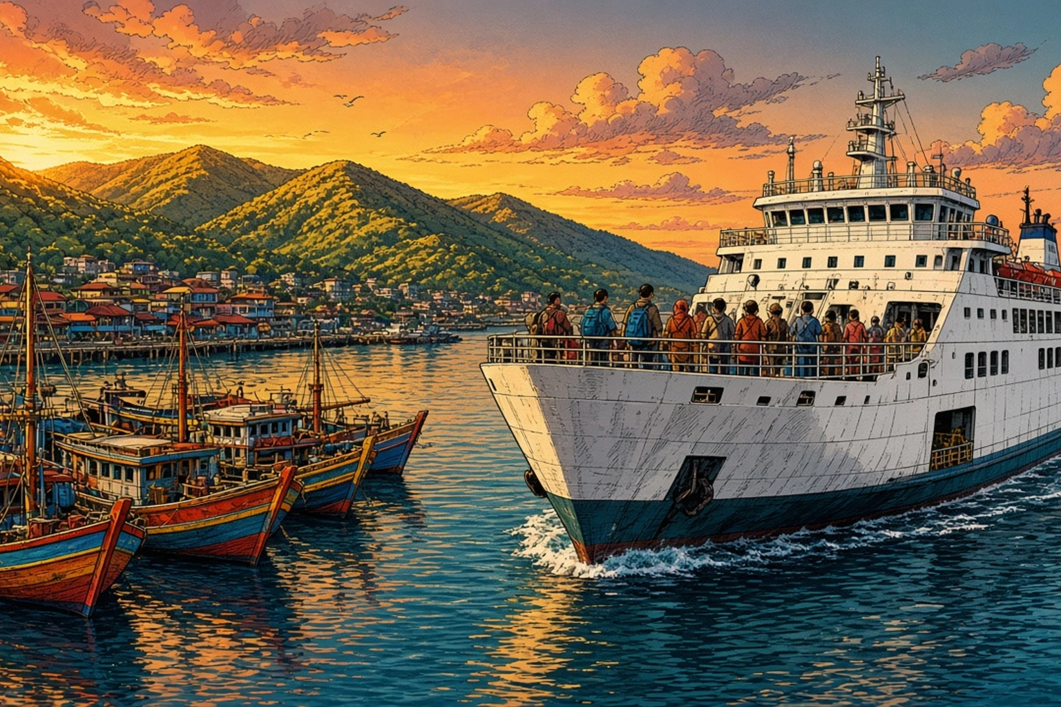
If you are on a liveaboard when the news breaks, tell the cruise director your onward flight details. Crews in Labuan Bajo have handled airport closures before and can often help with transfers, extra nights or contacts for the ferry. The guide to getting from Bali to Komodo also lists the overland and sea routes, which work in both directions.
How to Check the Current Status of Mount Lewotobi
Because the situation changes week by week, the most reliable sources are the official ones. These are the places Indonesian authorities, airlines and tour operators use:
- MAGMA Indonesia (magma.esdm.go.id), the Geological Agency's volcano monitoring portal. It shows the current alert level, the recommended exclusion zone and daily observation reports for every monitored volcano, including Lewotobi Laki-laki. There is also a mobile app.
- The Geological Agency (Badan Geologi), which publishes official statements whenever the alert level changes, usually in Indonesian.
- The Darwin Volcanic Ash Advisory Centre, run by the Australian Bureau of Meteorology, for the aviation view of where the ash is.
- Your airline, for the only answer that matters on the day: whether your flight is operating.
- The Smithsonian Global Volcanism Program, which publishes a weekly English summary of activity at Lewotobi and other volcanoes worldwide. It is useful for understanding trends, though it runs a few days behind.
News reports are useful for context, but headlines often describe a Level IV eruption without mentioning that it affected one regional airport for a day. When in doubt, check the alert level, check the ash advisory and check your flight.
Does Lewotobi Affect Diving and Boat Trips in Komodo?
No eruption has closed Komodo National Park or stopped diving there. The park is in the far west of Flores, and its waters, dive sites and islands are well outside any area affected by Lewotobi. Boats sailing to Padar, Komodo and Rinca, day trips to the manta sites and multi-day liveaboards have all operated normally through every eruption so far.
Where Lewotobi can matter is at the start and end of a trip. A diver arriving on the day a liveaboard departs has no buffer if the incoming flight is cancelled, and some boats cannot wait. Arriving in Labuan Bajo the day before any departure is standard advice for that reason, and it applies to any trip into the park. The Labuan Bajo travel guide covers where to stay and what to do with a spare day in town.
Other Volcanoes Near Komodo and Flores
Flores sits on the volcanic arc that runs the length of Indonesia, and Lewotobi is far from its only volcano. Kelimutu, famous for its coloured lakes, is a volcano. Mount Inerie towers over the traditional villages around Bajawa. Egon, in Sikka regency, and Ili Lewotolok on the neighbouring island of Lembata have both been active in recent years. Off the northeast coast of Sumbawa, west of Komodo, the island of Sangeang Api is a volcano that some liveaboards sail past on longer routes.
Each of these is monitored by the same agency, and each has its own alert level on MAGMA Indonesia. Having a volcano on the island is normal for travel in this part of the world. The broader guide to Flores, Indonesia covers the island's regions, towns and highlights.
Should You Cancel a Trip Because of Lewotobi?
For Komodo and Labuan Bajo, generally no. The volcano is too far away to affect the park, the town or the sea. The realistic worst case is a closed airport for a day or two, which good planning turns into a delay rather than a lost trip.
For East Flores, it depends on the current alert level and where exactly you are going. Maumere is a reasonable destination with flexible travel plans; villages close to the mountain are not places to visit during an active phase. For everyone, the steps are the same: check MAGMA Indonesia before travelling, insure the trip when you book it, leave a buffer before international flights and know that the ferry from Labuan Bajo to Sape exists if the airport closes.